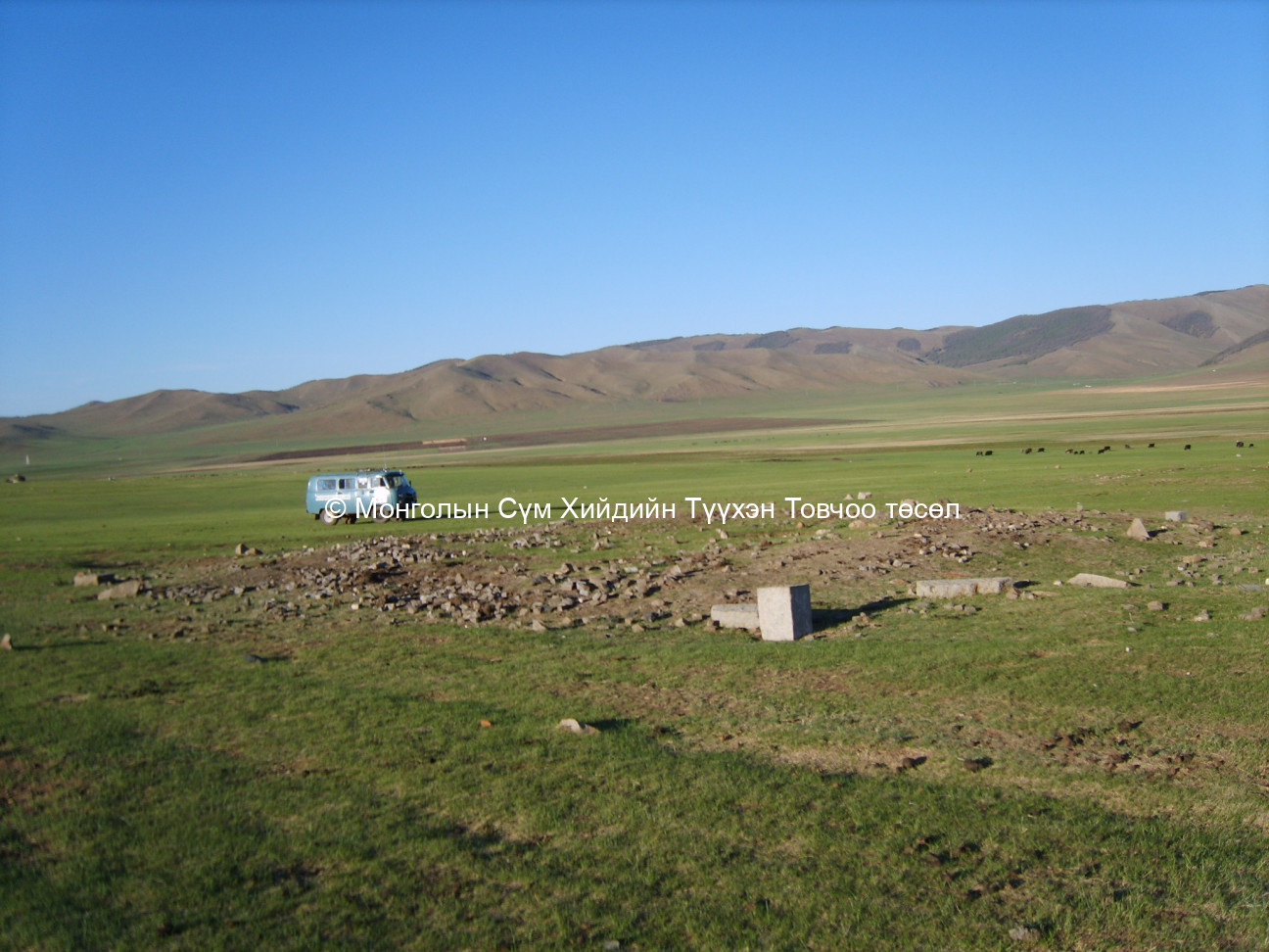
Bulgiin khuitan
Read in Mongolian
Name(s) of Temple :
Bulgiin khuitan,Temeechin bulgyn khuitan,Khuiten khiid,Khuitengiin khural, Khuitangiin khural,Dashsamdablin datsan,
Rinchen Number :
837
Rinchen Name :
Khuiten khural
Type of Temple :
Monastic City
Aimag Temple located in :
Ovorhangai
Sum Temple located in :
Zuun Bayan Ulaan soum
Old Aimag Name :
Sain Noyon
Old Sum Name :
Uizen Vangiin khoshuu
Precis History(In Mongolian only):
Өвөрхангай аймгийн ЗүүнБаян Улаан сум Хүйтний хурал Хуучин Сайн Ноён хан ван аймгийн Үйзэн вангийн хошууны нутгийн нэг хэсэг одоогийн Өвөрхангай аймгийн Зүүнбаян Улаан сумын нутаг Ёл хайрхан уулын өвөрт Тэмээчин булаг, Хүйтний рашааны зүүн талд энэ хурал төвхнөж байжээ.Энэ хурал нь 50-60 лам хурдаг, 4 модон дугантай мөн гэр хэлбэрийн нэг дугантай дугануудынхаа баруун хойд талд 3 суврагтай бэсрэгхэн хийд байжээ.Хүйтний хурлыг анх үүссэн тухай “… Төр гэрэлтийн 18-р /1838/ онд Засаг Жүрмэдванжилийн үед Дашсамидлин хэмээх дацан байгуулж өдөр бүр 10 хангал зэрэг олон ном цаг бүр хурна.Шавь нар нь агь номын сургууль үйлдэнэ.Энэ дацан Тэмээчин булаг хэмээх газар нутаглана…” гэсэн түүхийн баримт архивийн материалд байна. Тус хурал бага хэмжээний цамтай, майдар эргэдэг, мөн намрын дунд сард Ганжуур эргэдэг байжээ.Туурийн орчмын газар нутгийг нутгийн олон Убтайн гол гэсэн газар орны ерөнхий нэрээр нэрлэнэ.Хүйтний хурал нь 1937 оны үед бүрэн хаагдаад дахин сэргээгдээгүй байна. Холбогдох эх сурвалж: 1.Үндэсний төв архив.ФА-170, д-1, хн-5 2.Зүүнбаян улаан сумын иргэн 82 настай Нацаг гуайтай хийсэн ярилцлагаас /2007.06.04/
Description of location :
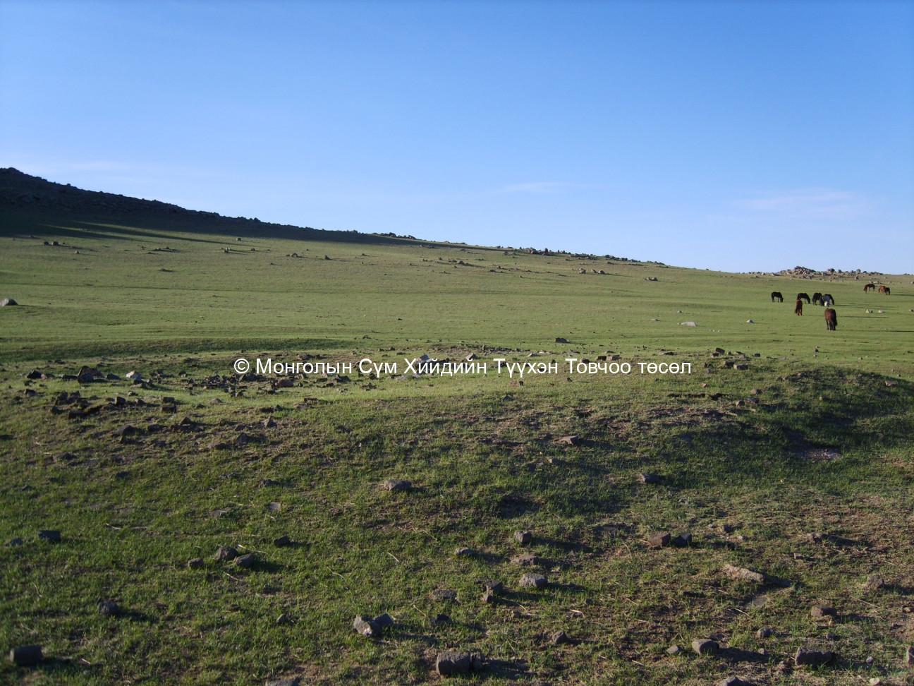
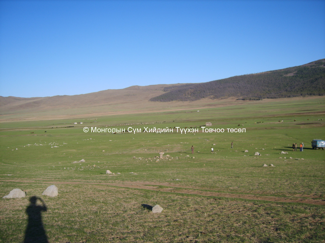
The site is encircled by the Ubtain gol river, Yol Khairkhan, and Temeechin bulag. It is at the foot of the the Yolkhon mountain. Khuitengiin rashaan lies to the east of the site.
GPS readings :
North 46° 32’ East 102° 30’
Estimated site dimensions (metres) :
Side1: У100 Side2: Ө100 Side3: Side4: Side5: Side6:
Revived temple on site :
No
Status of site at time of survey :
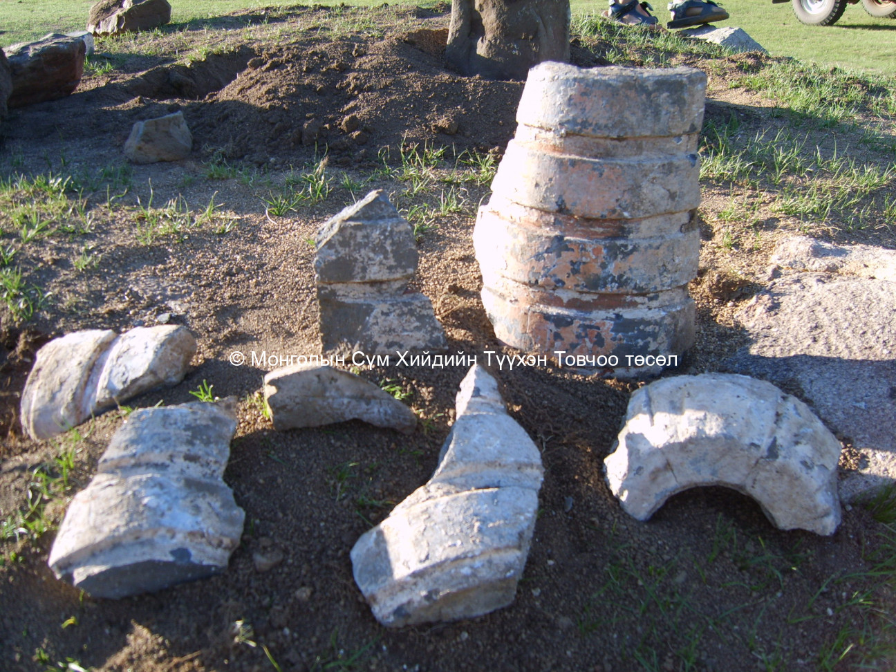
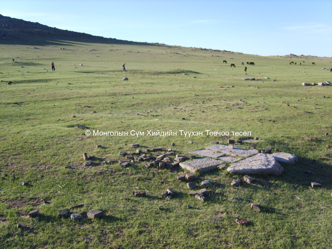
As the temples were made of wood, almost nothing is left. There is the foundation of a stupa in the North and some heaps where temple buildings could once have stood are visible. Khüiten rashaan is coming from the ground, in the East of the area. There is an ovoo and some traces on the South-East, where monks piled the monastery’s litter. There are holes from where monks got mud for the temple walls. Some fragments of a pot were found.
Date of founding the monastery/temple :
1860
1883
Date of closing and destroying the monastery :
Огноо хаагдсан: - Ярилцлагын дугаар:
Огноо нураагдсан:: 1937 - Ярилцлагын дугаар:A 18
Огноо нураагдсан:: 1938 - Ярилцлагын дугаар:Uvurkhangai aimgiin toli
Old monastery/temple revived:
No
Үүсгэн байгуулагч хүний нэр болон цол хэргэм (мэдэгдэж байвал):
Нэр, цол хэргэм : - Ярилцлагын дугаар:
Date of Reviving:
Year : - Ярилцлагын дугаар:
Monks in Old Temple :
50-60 monks
Notes :
According to Legtseg, this small complex consisted of five or six wooden temples, within a fence. Three stupas stood on the three sides. However, remains cannot be seen. Only traces of a stupa and a few large heaps are left. According to Legtseg, 50-60 lamas belonged to this community. Following his guidance we found the place in the North of the sum centre.
According to local people, monks used the water of Khüiten rashaan for drinking. The low holes refer to the fact that the walls of the wooden building could have been formed by mud to make the buildings warmer. Local people showed white traces on the ground, where monks used to put the litter on the South-East.
Maidar’s list refers to Khüiteng süm, which was located near Temeechin bulag. According to him it was founded in 1860.
According to the book ‘Övörkhangai Aimgiin Toli’ (p.143.), Khuitangiin khiid or Dashsamadlin datsan was built in the 1800s near Temeechin bulag. 200 lamas belonged to the community. It was closed in 1938.
According to a leaflet of Gandanpuntsoglin khiid in Arvaikheer, Dashsamdanlin datsan was established in 1883 in a place called Temeechin bulag. It was known under the name of Khuitangiin khural as well.
Form Number :
ӨХЗУ 036
Survey Team :
Team D


