



Uvgun datsan
Read in Mongolian
Name(s) of Temple :
Uvgun datsan ,Golyn datsan,
Tibetan name(s) Cyrillic (DOMM 2007):
Дондовганданлин, Түгдэвганданпэлжээлин
Tibetan name Wylie:
*don grub dga' ldan gling, *thugs sgrub dga' ldan 'phel rgyas gling?
Rinchen Number :
26
Rinchen Name :
Uvgun datsan, Golyn datsan, Dondovgandanlin, Tugdengandanpeljeelin
Type of Monastery/Temple:
Monastic School
Aimag where the temple is located:
Khovd
Sum where the temple is located:
Myangad soum
Old Aimag Name :
Zasagt Khan
Old Khoshuu Name :
Khovdiin khyazgaar / Myangadiin khoshuu
Description of location :
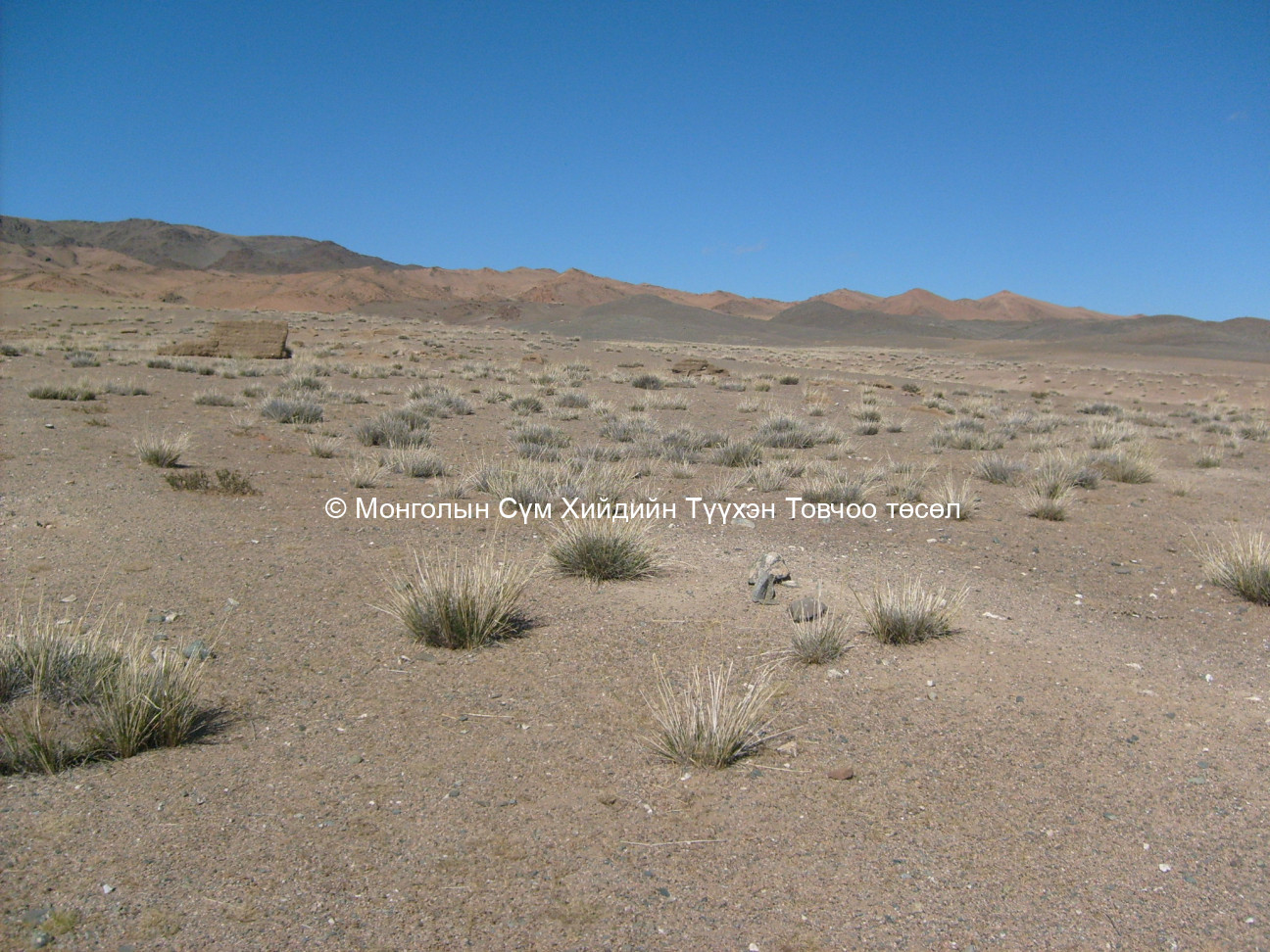
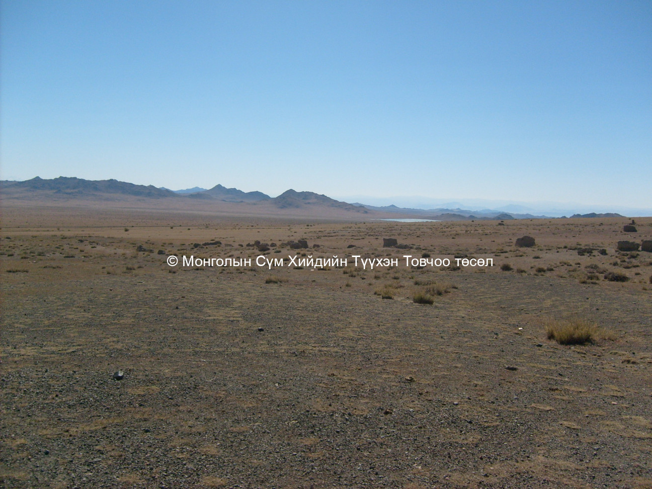
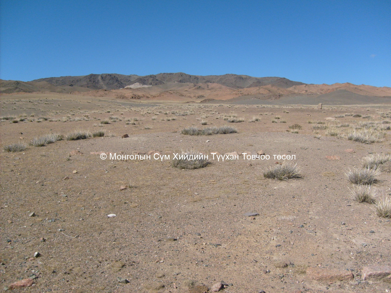
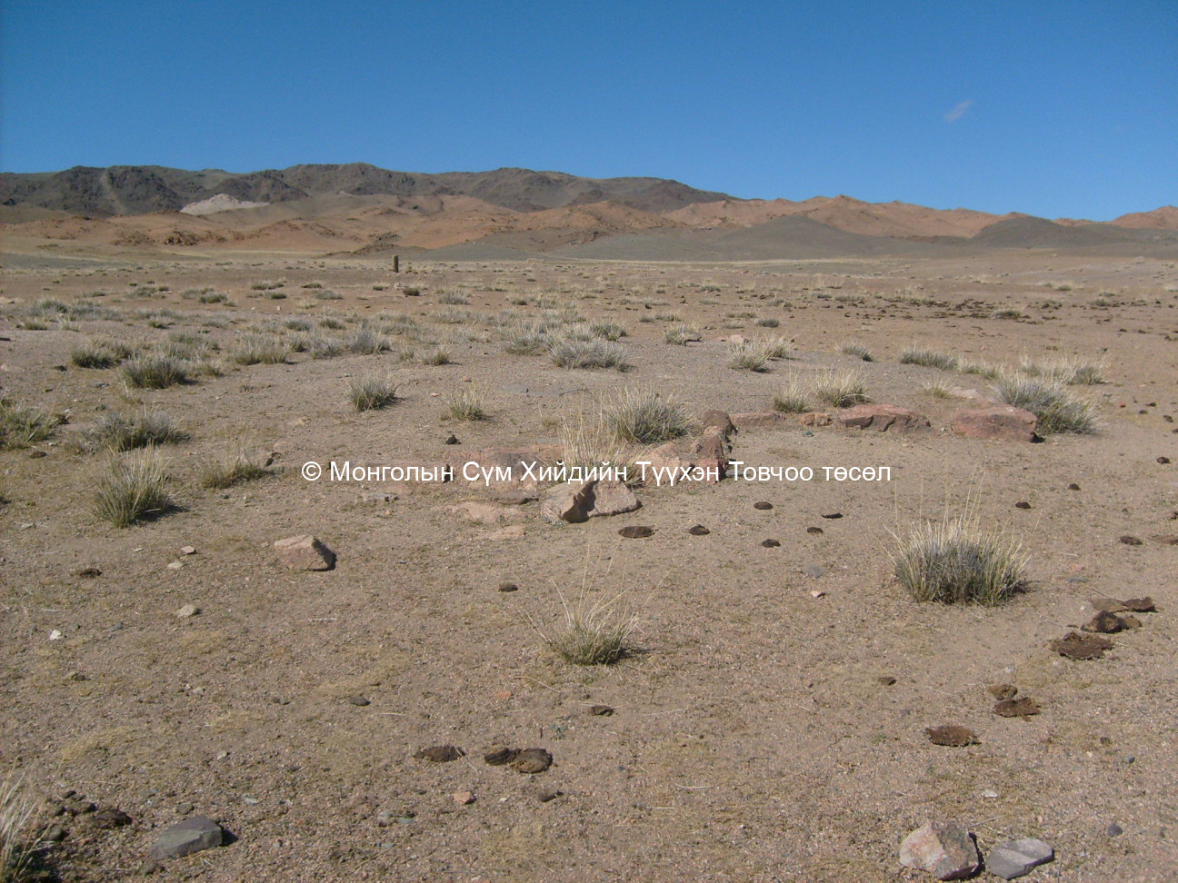
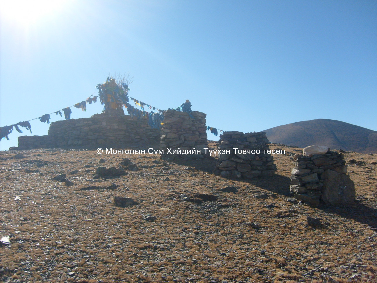
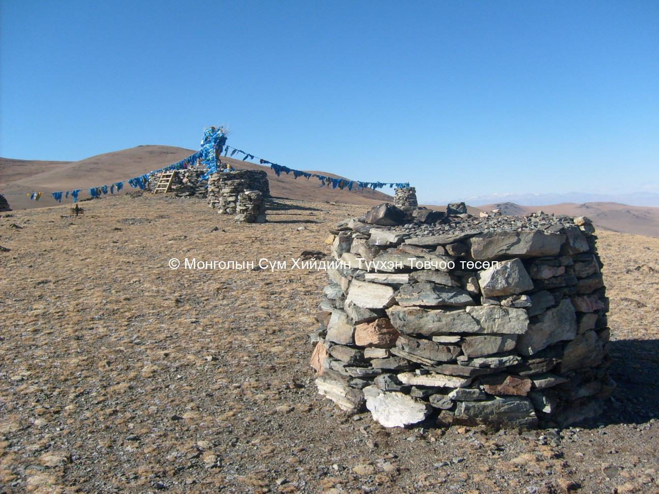
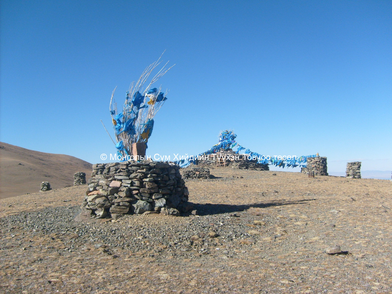
The site is located in the Khan Khukhiin mountains that extend from the Mongol Altai mountain range. In the east of the Khan Khukhiin range is the river Khovd. The Altan Khukhiin summit is located 20 km. from the site base and is worshiped by the Mongolian state government. Closest to the site is the Myangad sum centre 46 km. away. The Uvgun religious school base is located on the shore of lake Zeeren on Bayangol brigade land of the Myangad sum. The site is occupied by herders during summer and autumn. There are a small number of winter-quarters on the slopes of the Khan Khukhiin mountain.
GPS coordinates :
North 48° 37’ East 091° 53’
Total site area:
Side1: 400 Side2: 250 Side3: 14 Side4: 14 Side5: Side6:
Revived temple on site :
No
Site status at the time of survey :
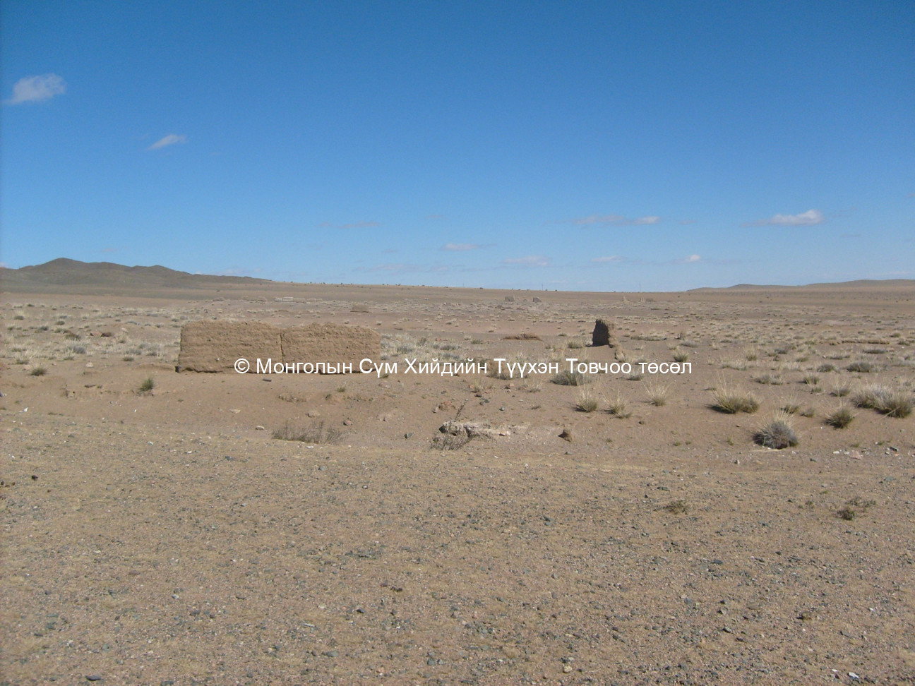
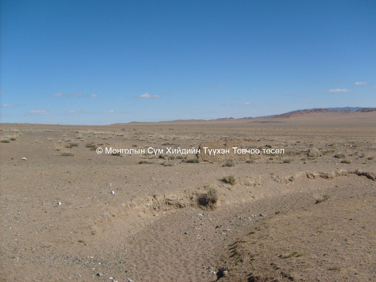
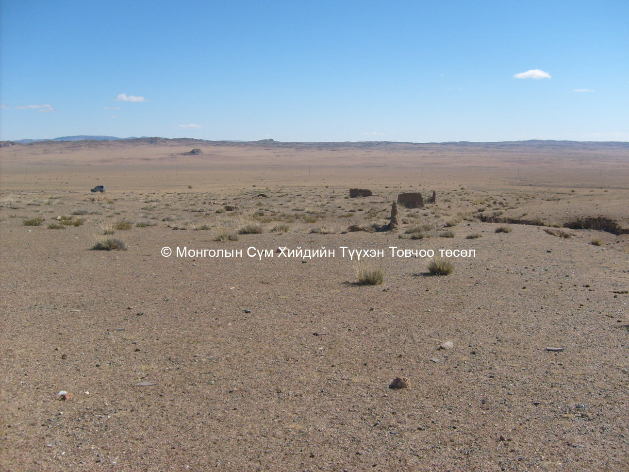
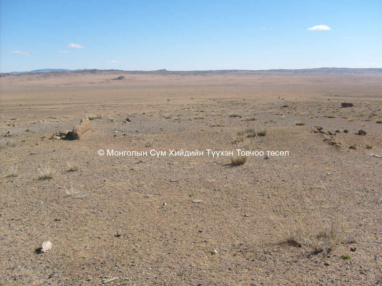
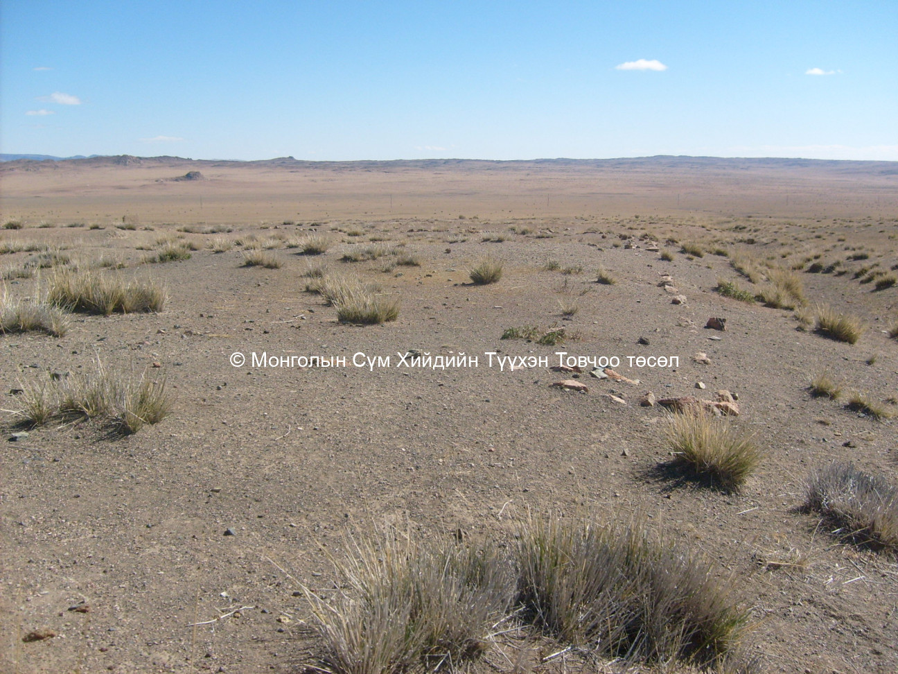
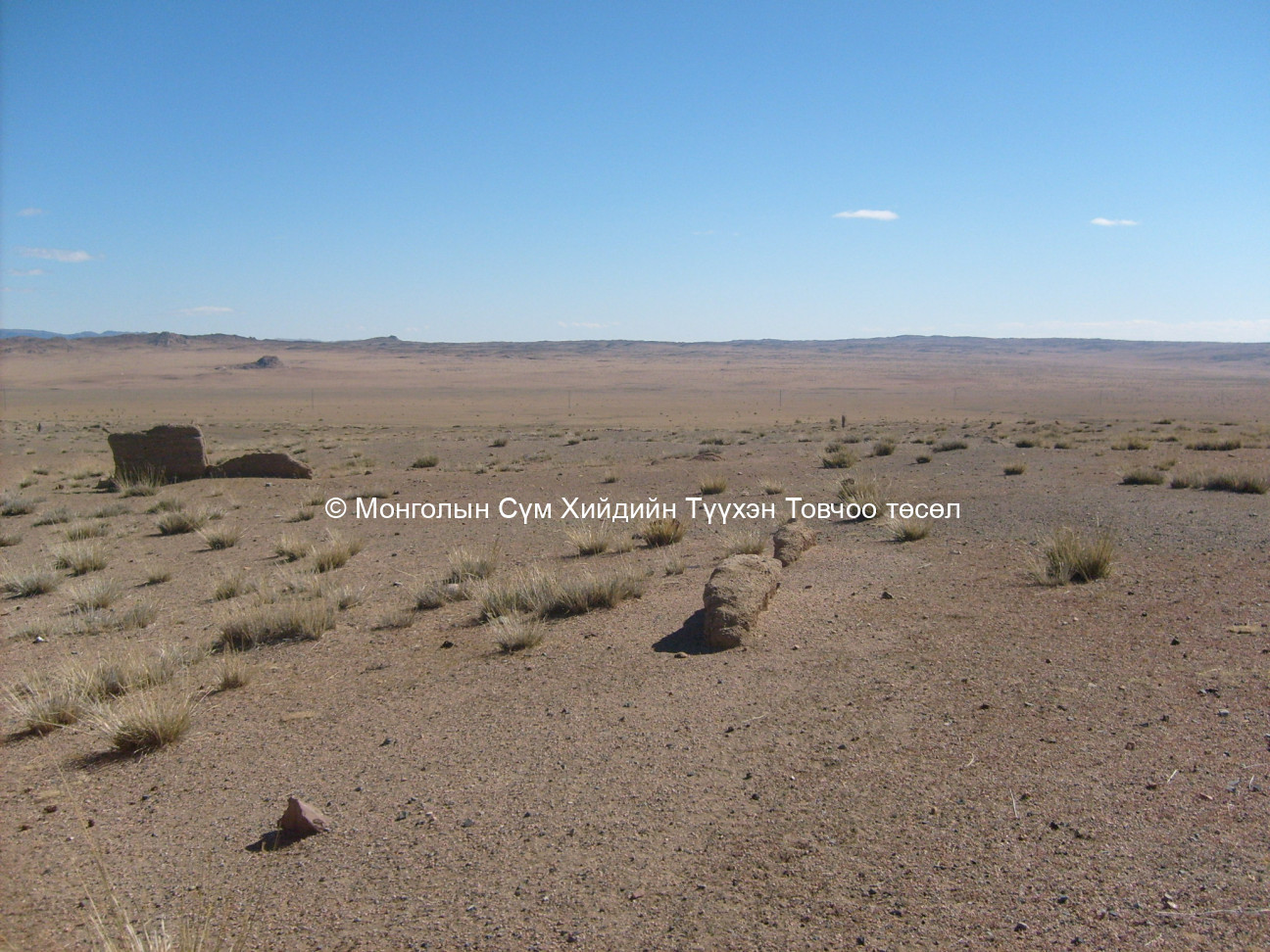
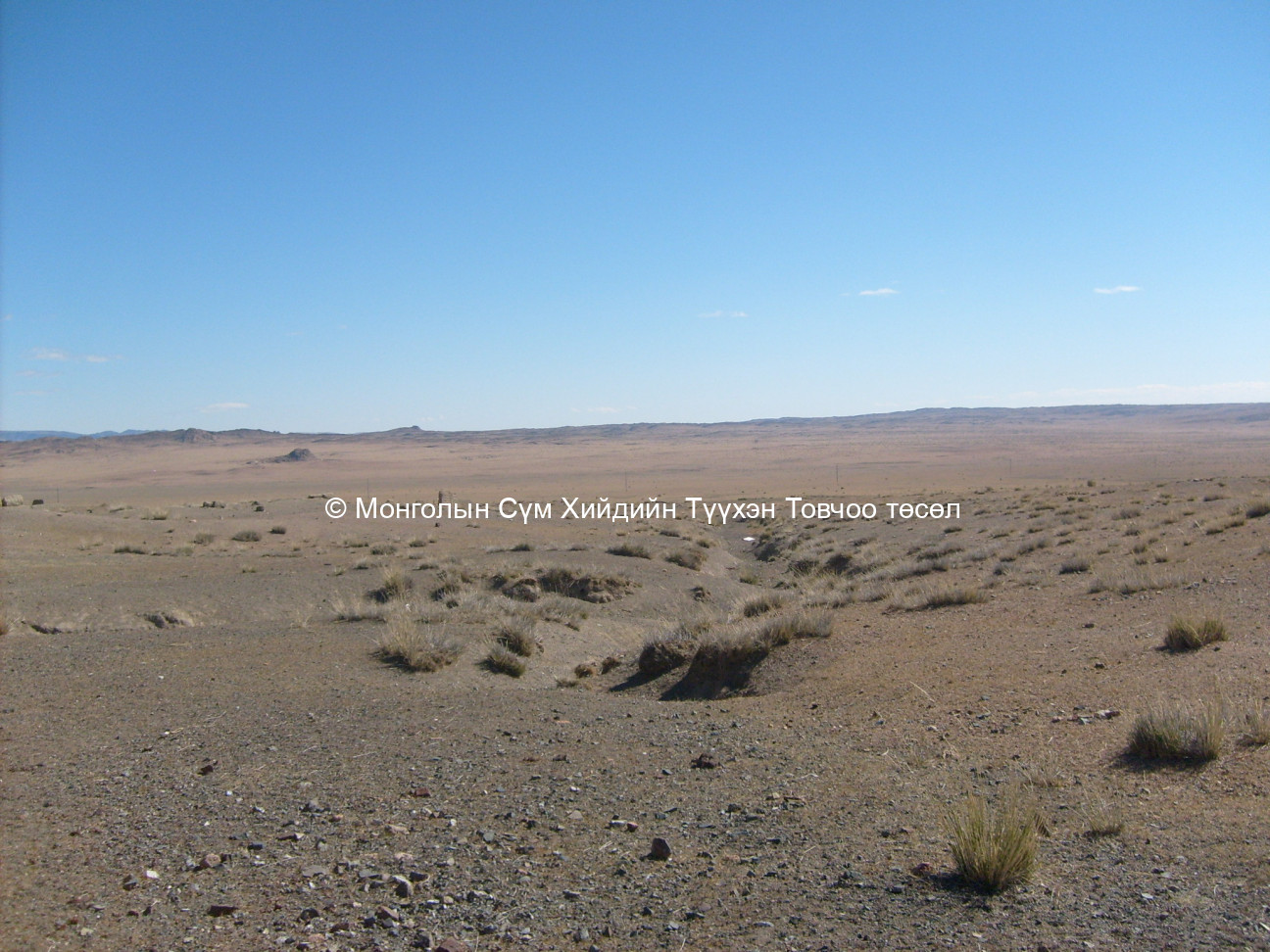
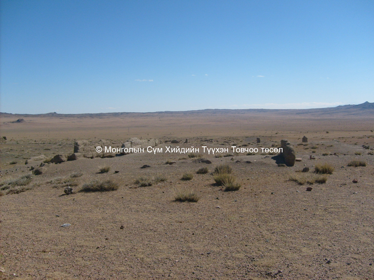
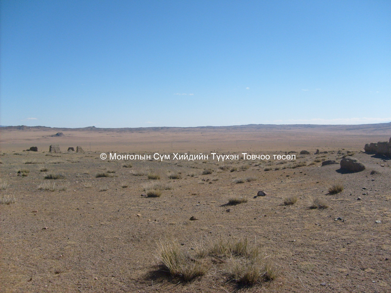
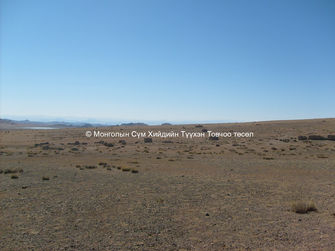
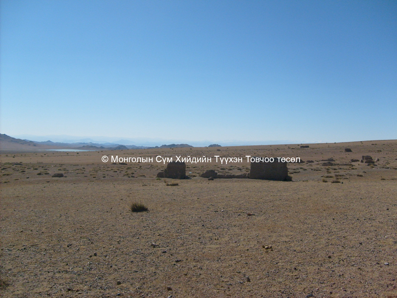
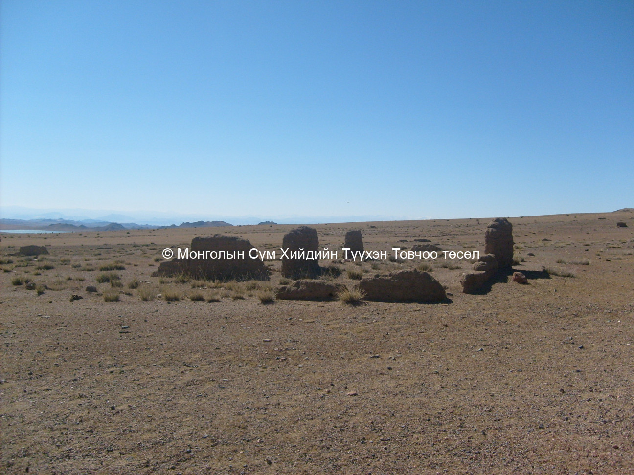
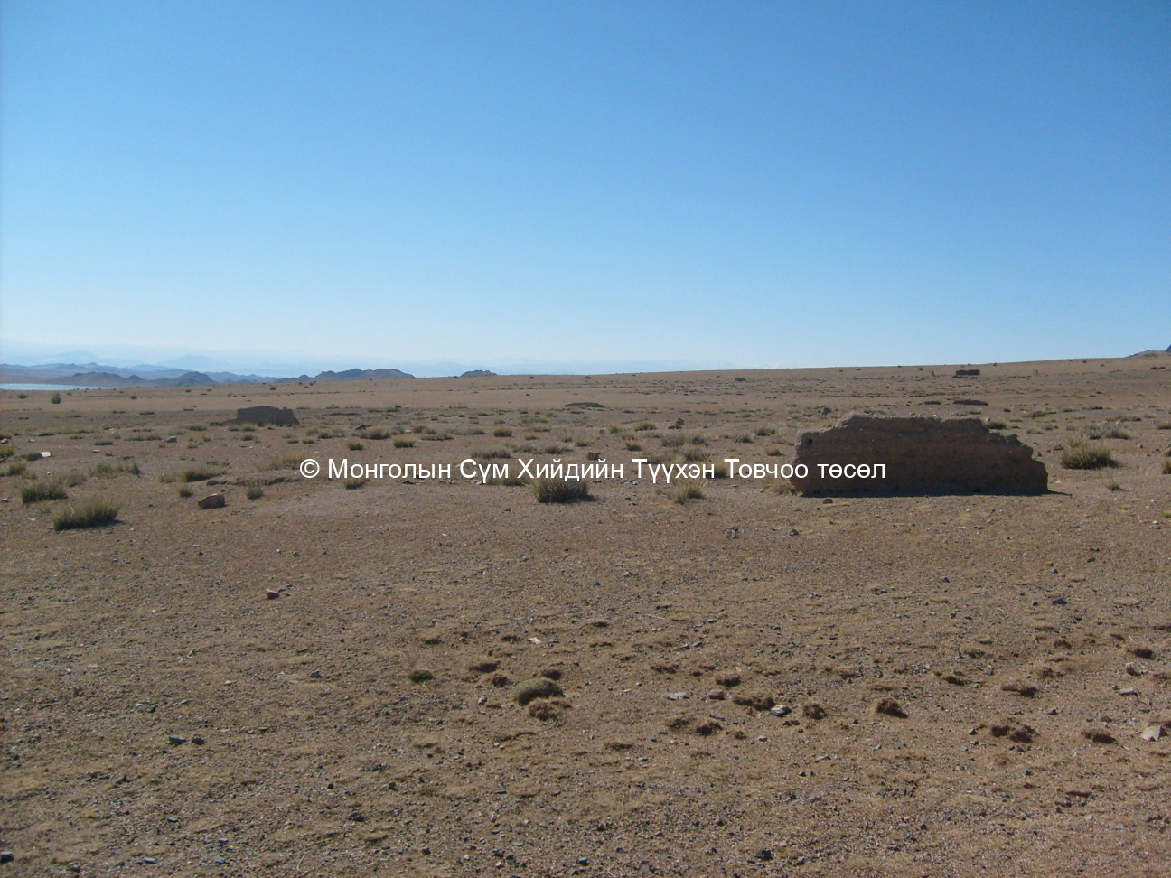
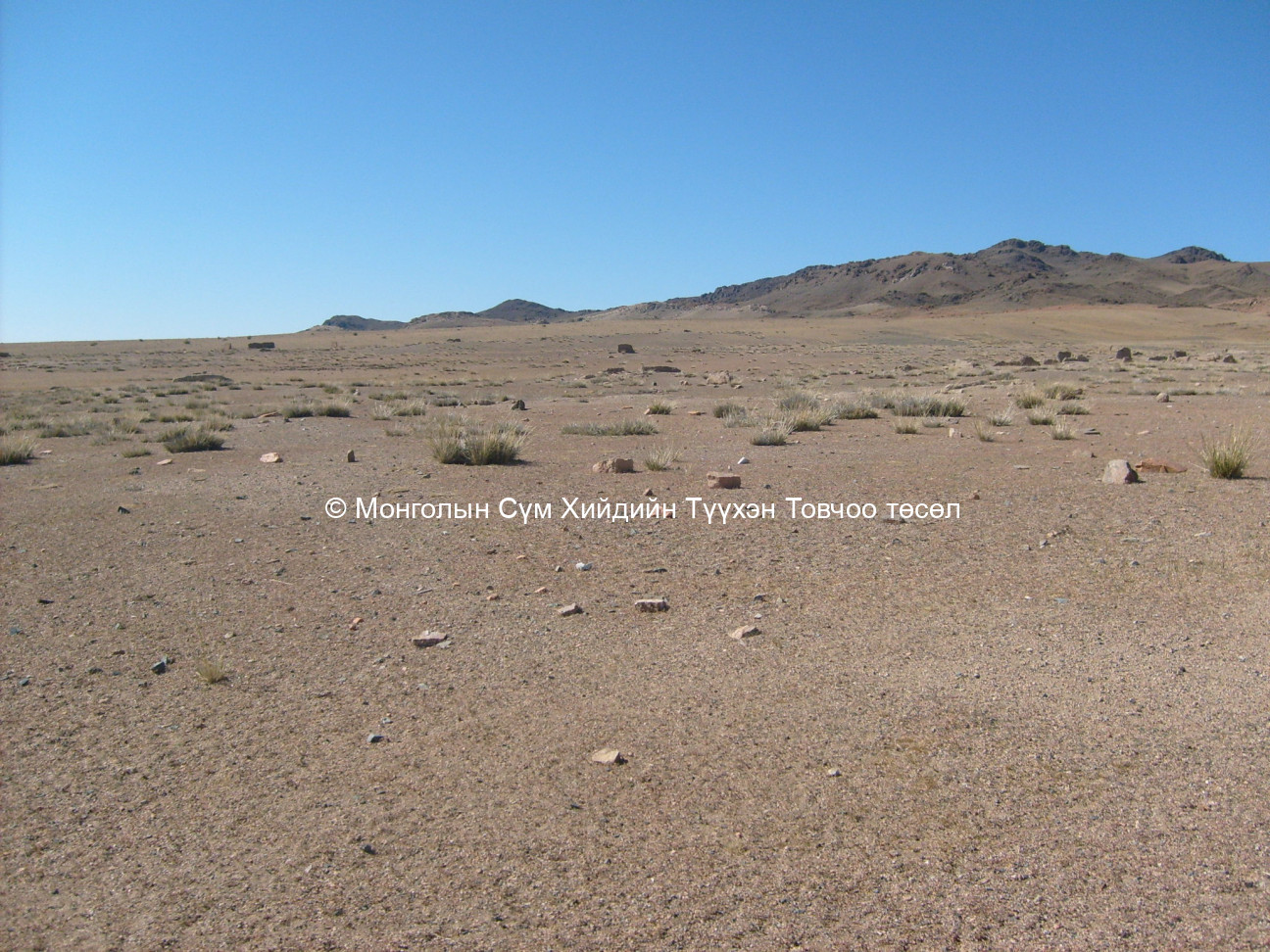
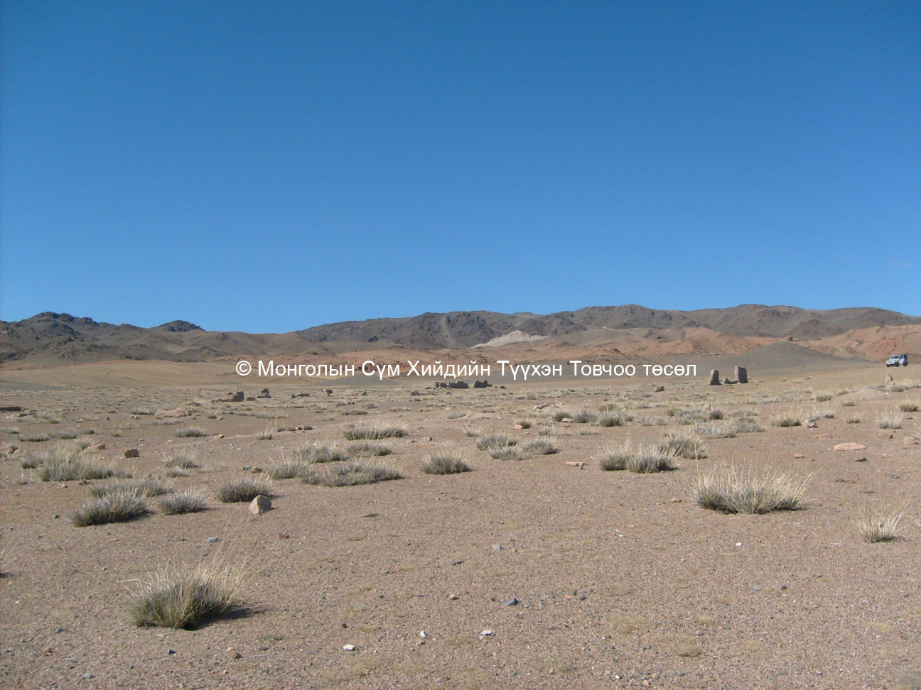
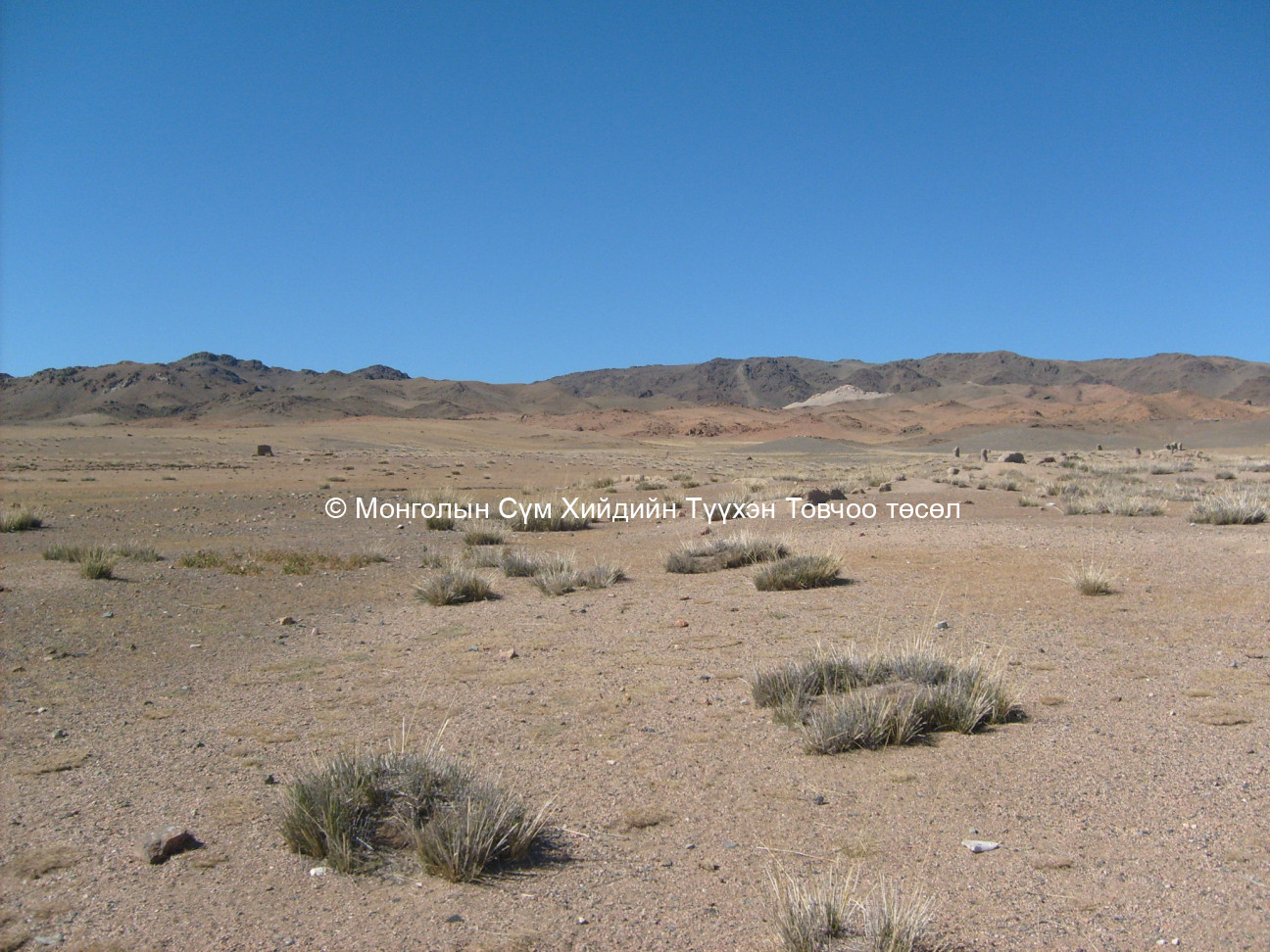
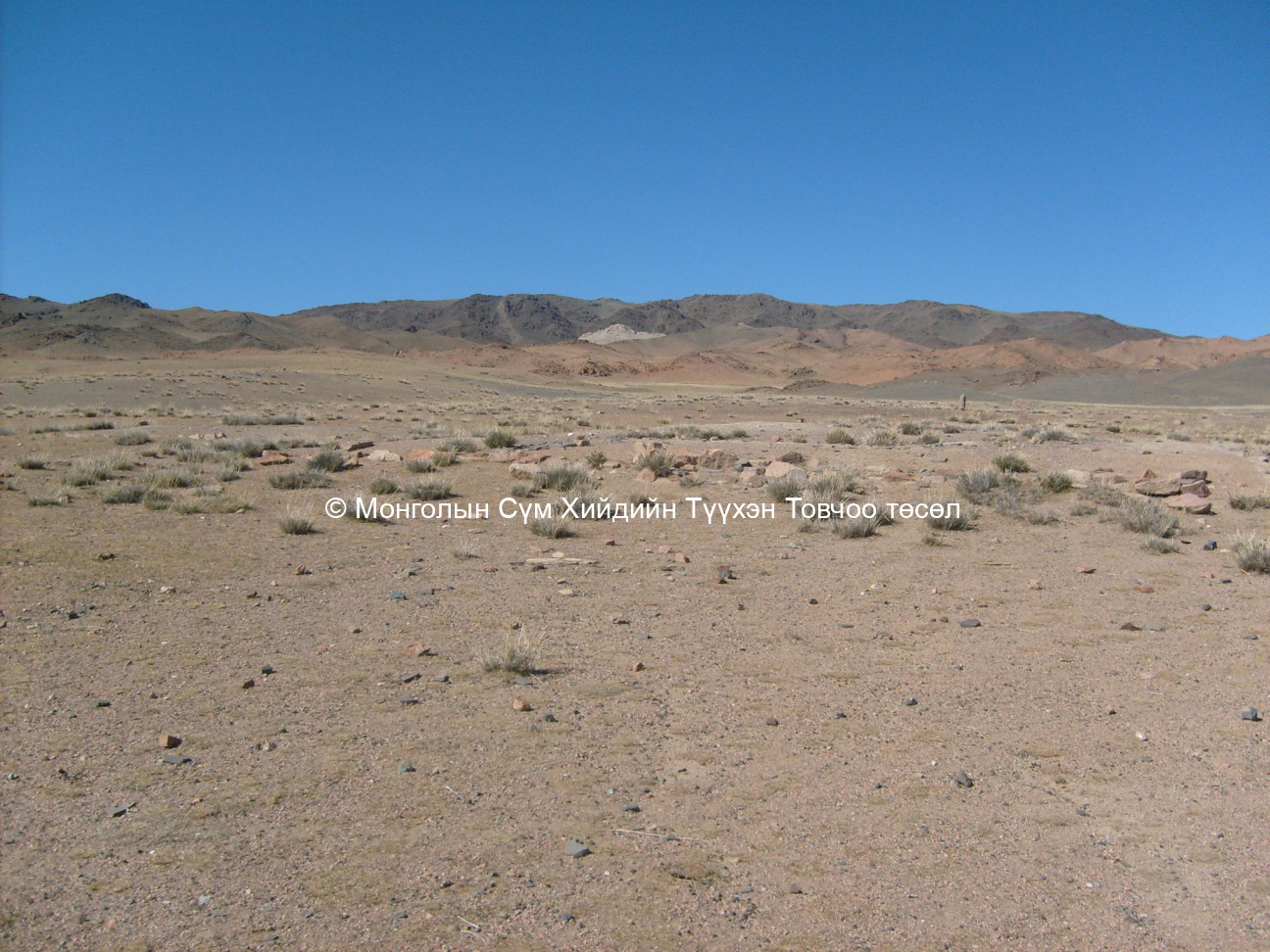
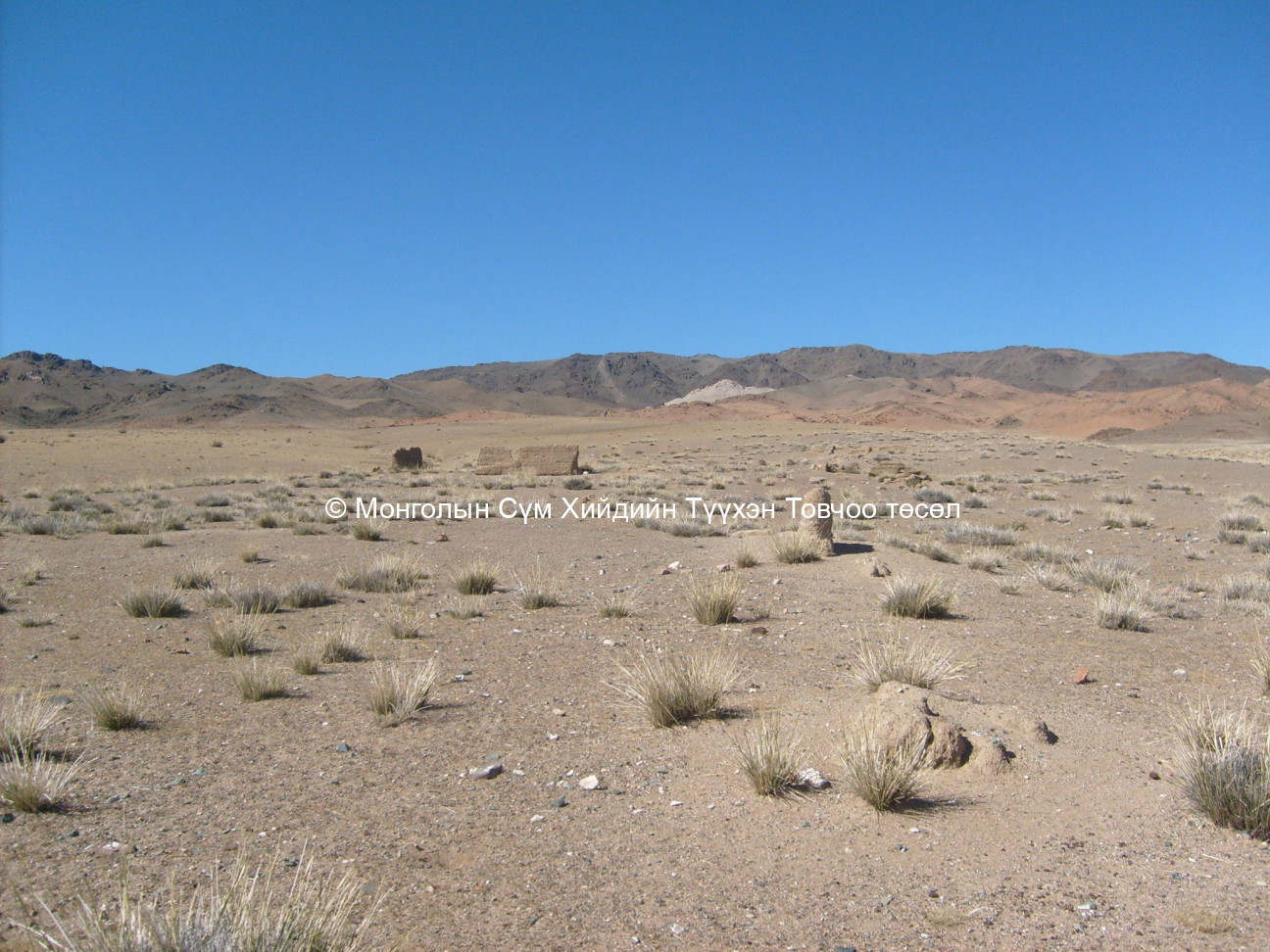
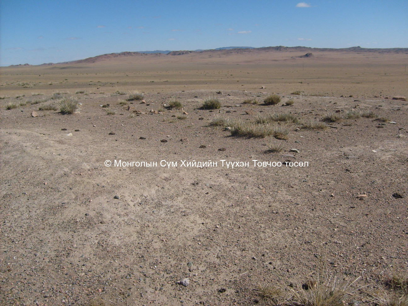
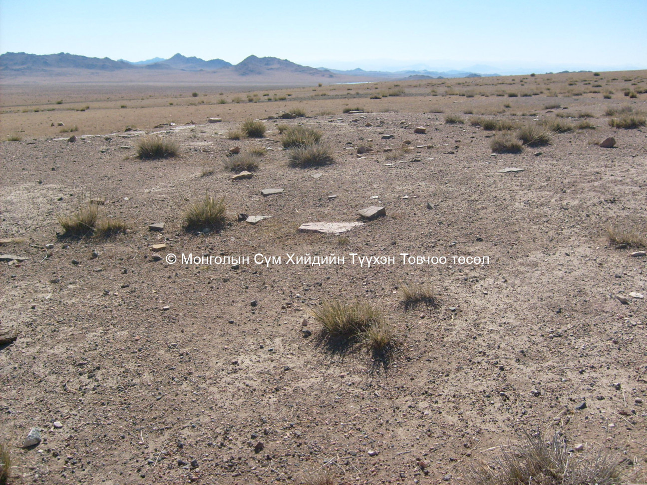
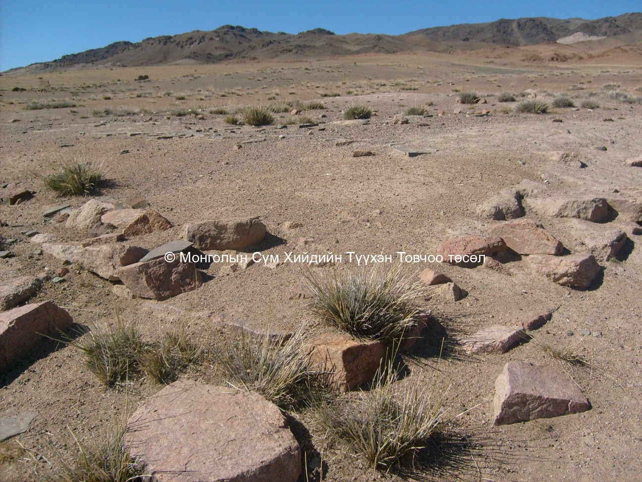
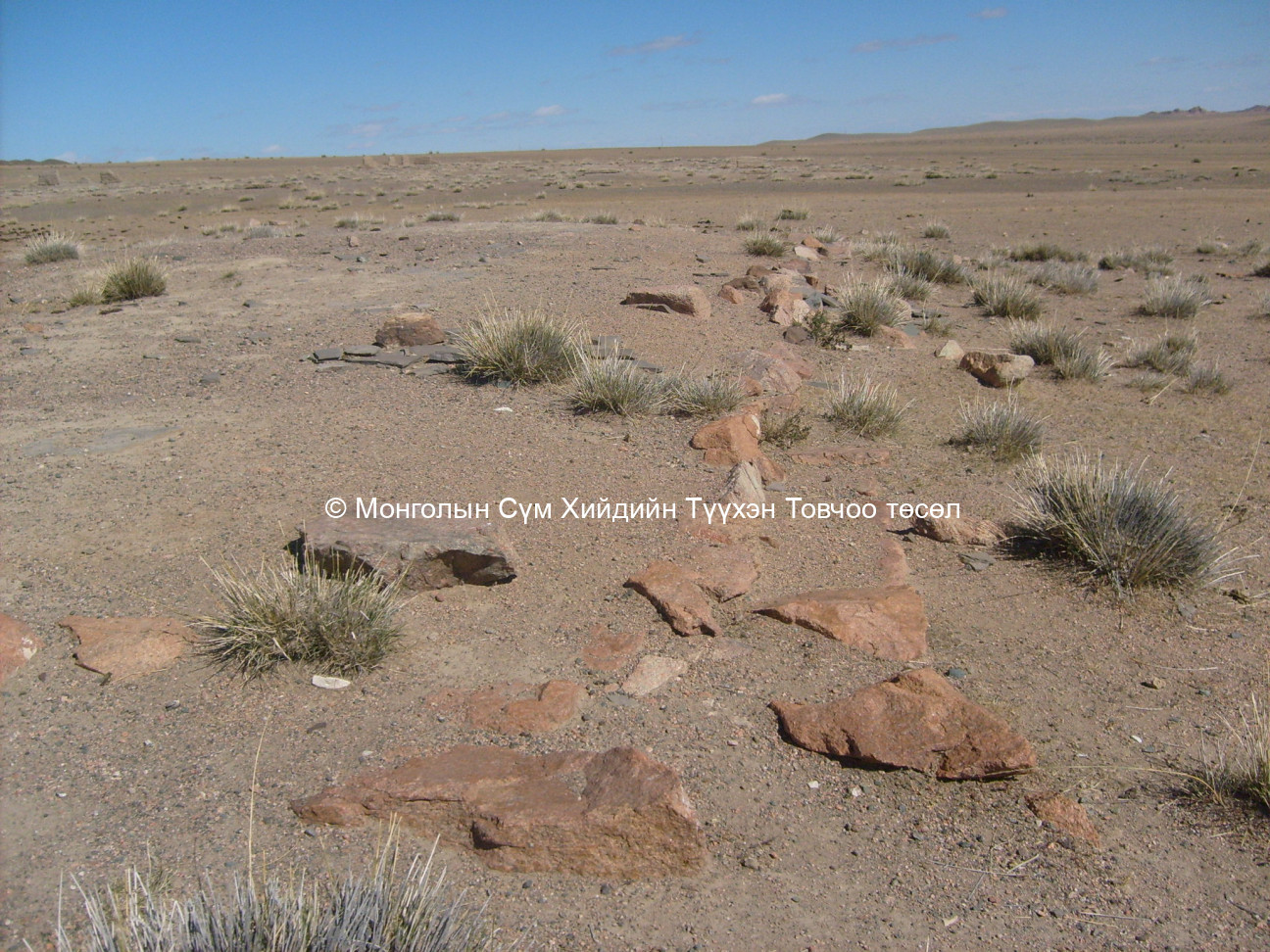
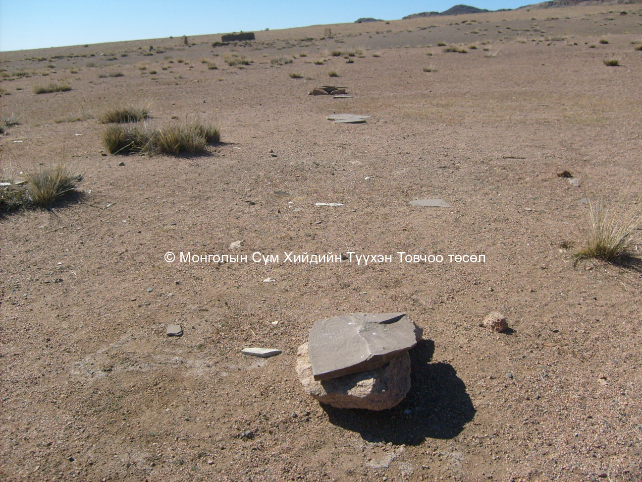
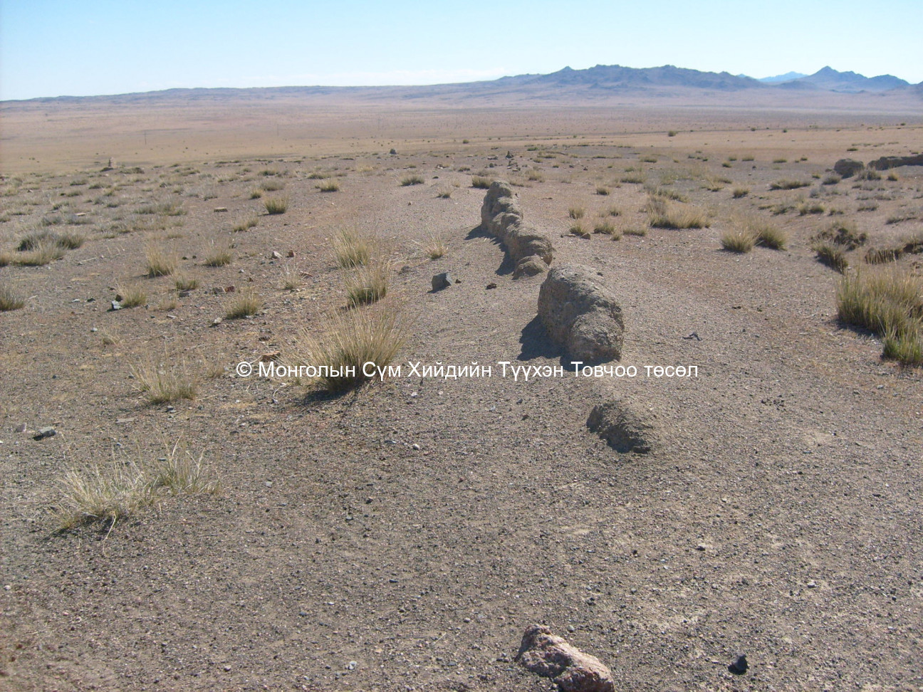
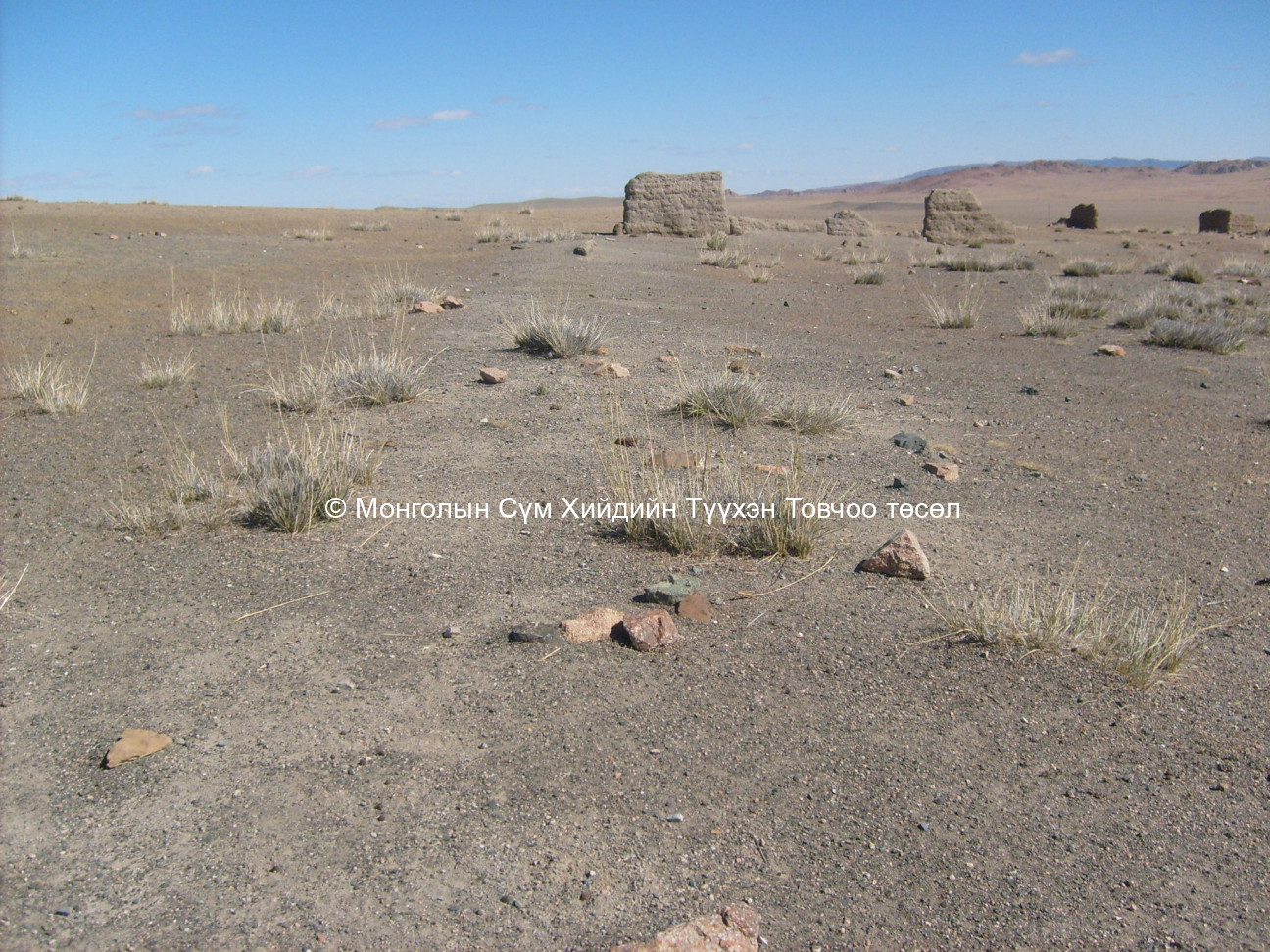
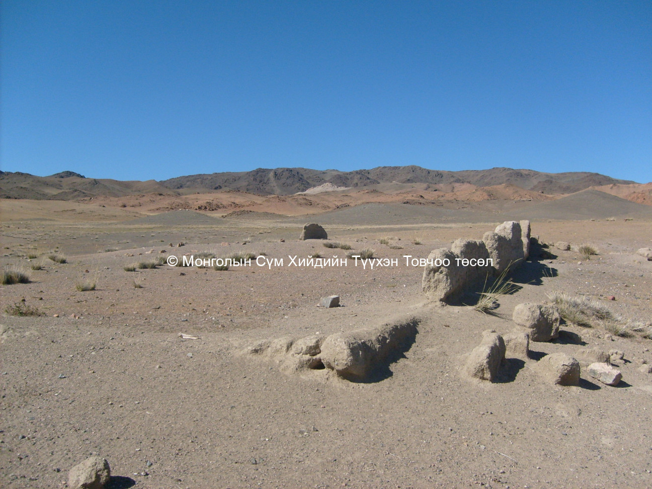
The whole site size is 450 m in length and 250 in width. These dimensions could be not exact as the site base is located on slopes which makes the measuring job difficult. There is no trace of any building or ger outside the monastic city area. In the last couple of years, the site base has experienced flood water coming through the middle of the site base, particularly in 2 areas. This created a trench, and any further flooding could be fatal to already sensitive remnants.
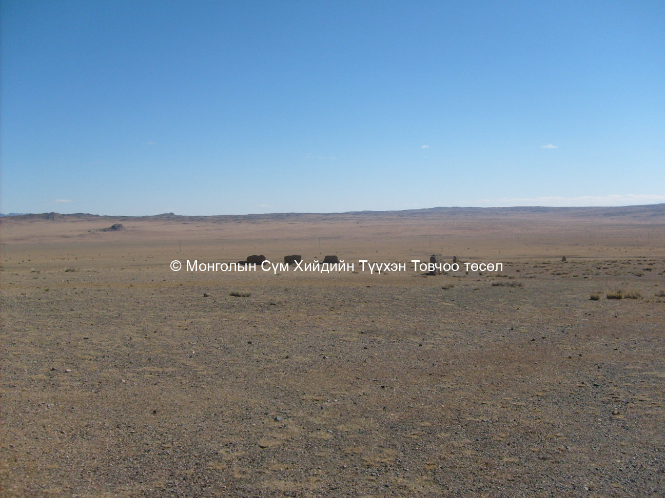
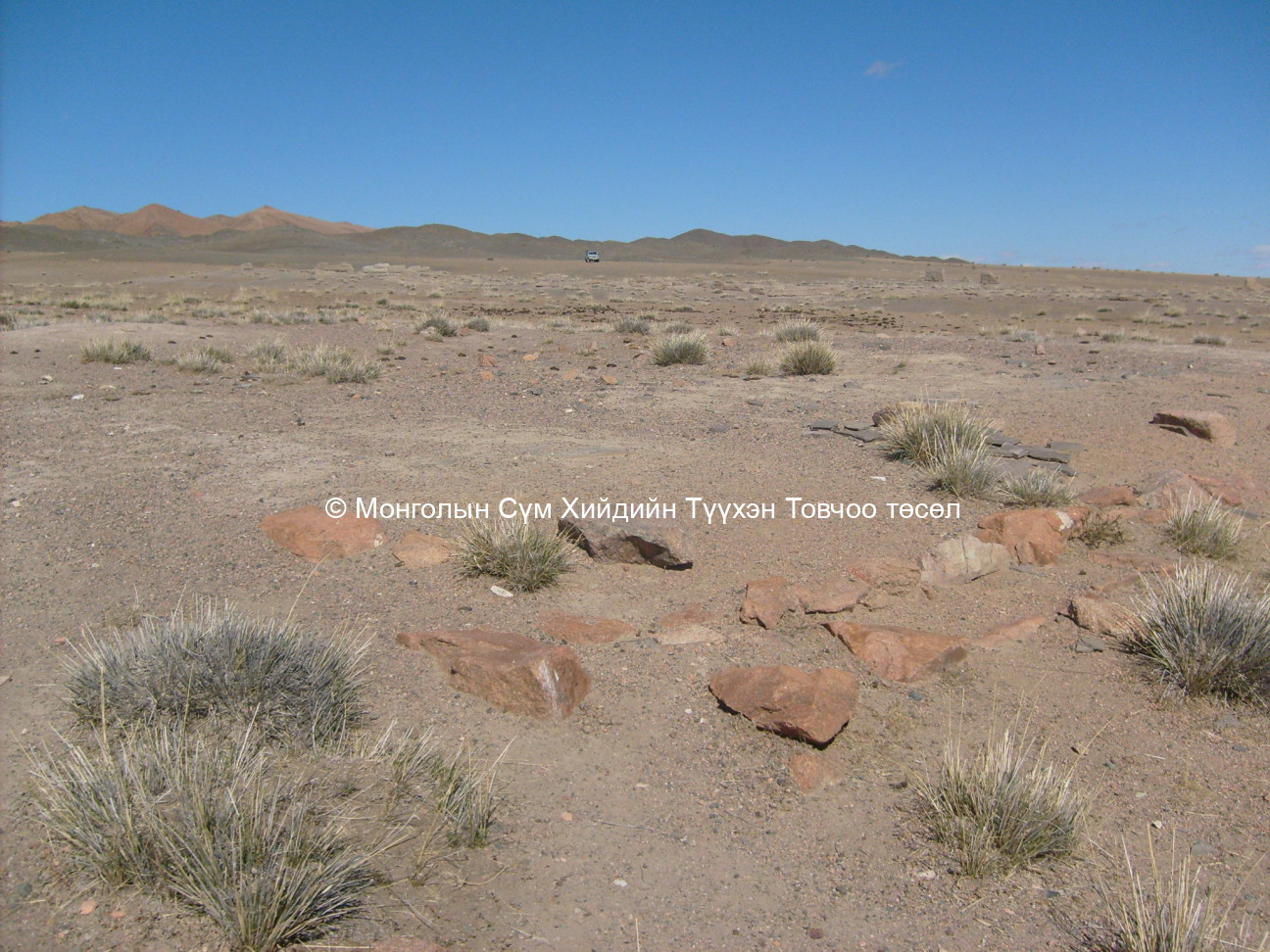
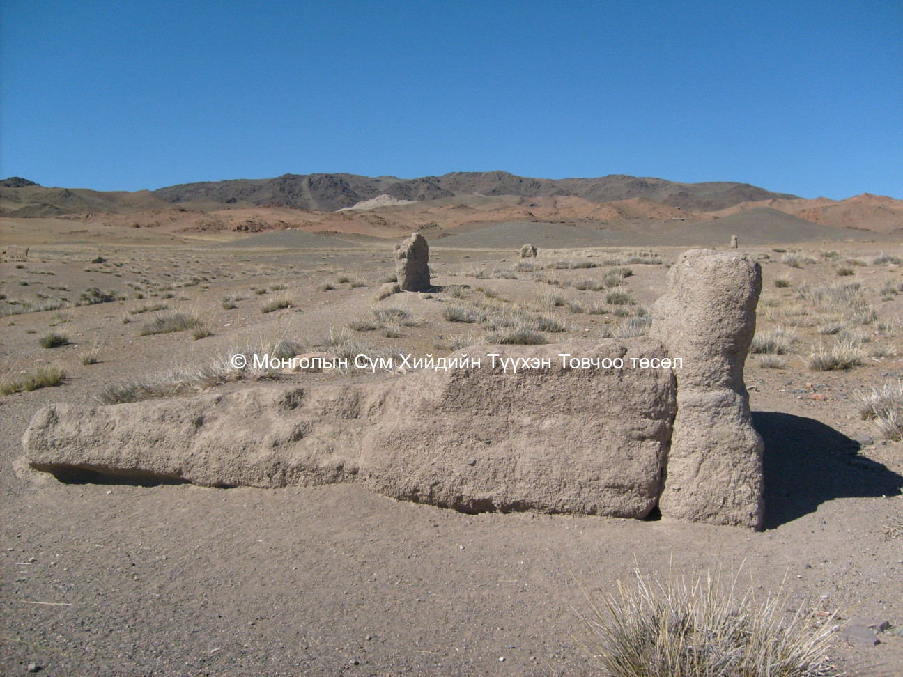
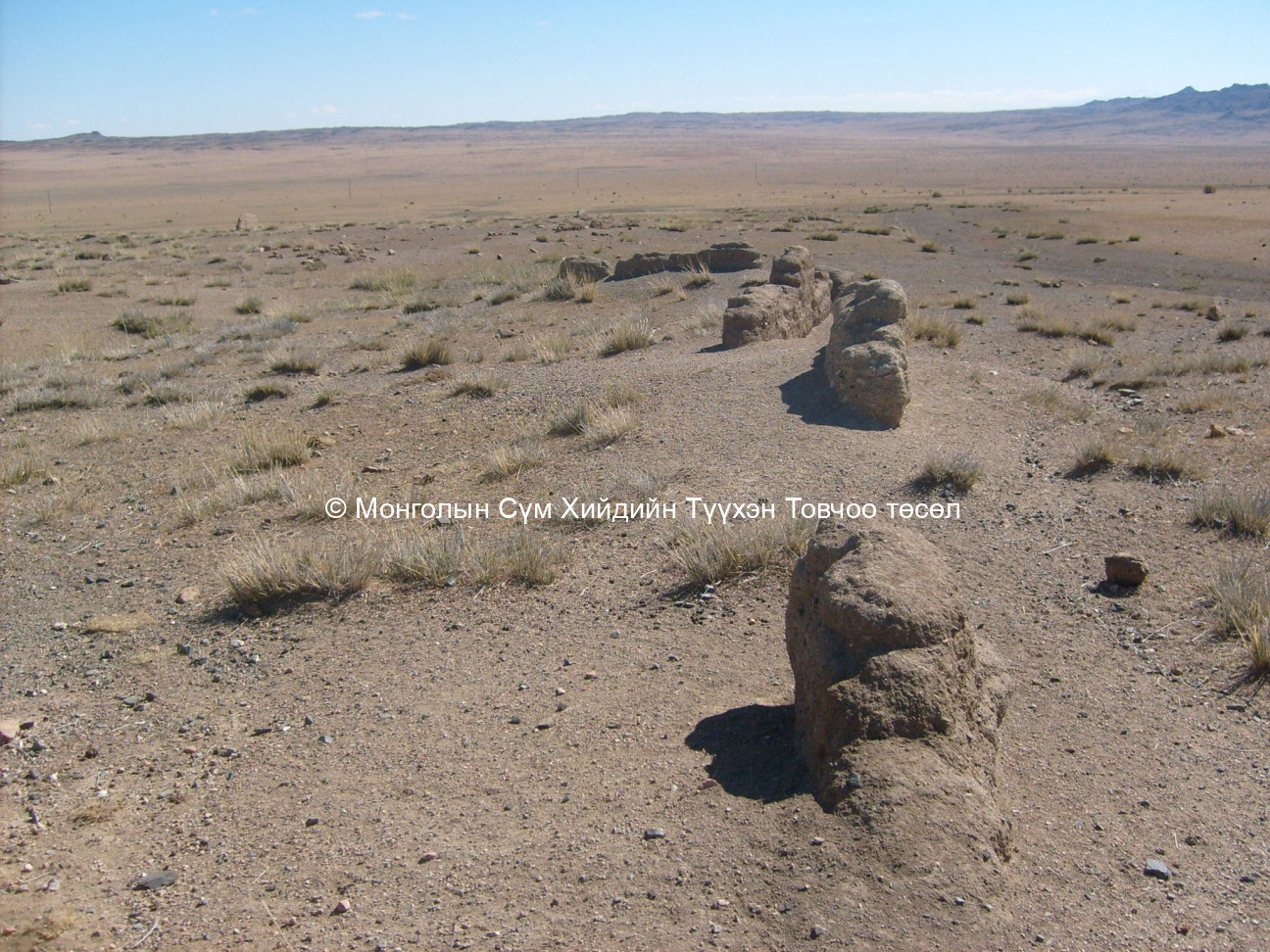
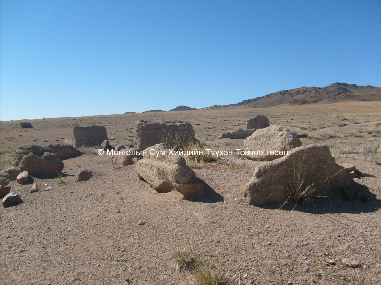
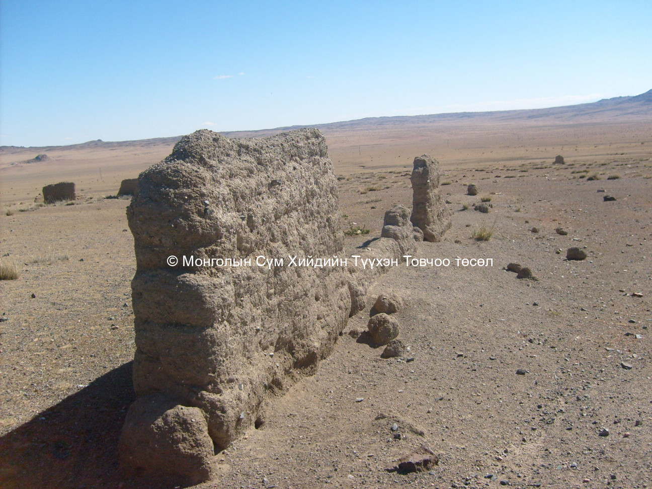
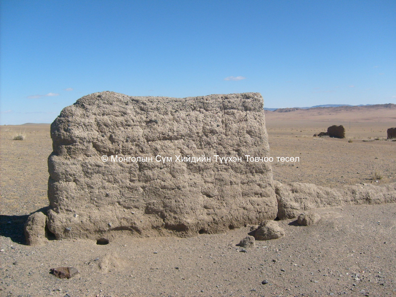
Prior to Uvgun religious school, the site was occupied by Myangadiin monastic city which was split into two different units Khovd Goliin Datsan and Naidan Datsan.The Uvgun religious school base is found on the inner slopes of Khar Nuruu which is in the valley of low rise mountains extending from the Khan Khukh mountain range northeast of Zeeren lake. The site is 3 km. northeast of the Lake Zeeren. The site base consists of a few blocks of building walls standing sparsely in the west, north and the east. Remnants from a watchtower are seen in the middle of the site. The average height of the walls is 1.5 m. and the walls and watchtower were made from medium sized mud bricks. Although the base is eroded by wind, the dark appearance of the site makes it still visible from a distance. In the middle of the south part of the site, is a square building base measuring 14 x 14 m which could have been the main Tsogchen Dugan. Remnants including a mud base and dirt and stone wall bases are clearly visible. In the east section is a small building wall that measures 3 x 2 m. Although there are a few other building walls remaining they are missing at least one side of the walls. Although locals still revere the site and protect it from any traffic, the site is visited by livestock looking for lush green grass.
Date of establishment of the monastery/temple :
1800
1860
Date of closing and destroying the monastery :
Revival of the old monastery/temple:
No
Founder's name and title (if known):
Date of Revival:
Monks in Old Temple :
about 100 monks
about 80 monks
about 100 monks
about 80 monks
Form Number :
ХОМД 112
Survey Team :
Team А